NCLT holds conservation restrictions on 14 properties in the region. Each conservation restriction (CR) is unique to the property it protects. The CR prevents development of the property, while allowing its continued use for recreation, forestry and similar activities. As holder of a conservation restriction, NCLT has the responsibility to insure that the property is never developed and that it is managed and used in compliance with the conservation restriction. The CR is permanent and “runs with the property”; the property can be bought and sold, but it can never be developed.
Conservation Restrictions on Public Land
NCLT holds conservation restrictions on these public access properties:

Wiita Conservation Area
AshbyWiita Conservation Area is owned by the Town of Ashby, Conservation Commission and is open to the public. NCLT holds a conservation restriction jointly with Ashby Land Trust on Wiita Conservation Area. The conservation area is comprised of approximately 10 acres of farm fields and 160 acres woodland, including the summits of Spring Hill and neighboring Blood Hill. Blood Hill is the highest peak in Middlesex County and affords scenic views of the Town. Wiita Conservation Area is managed by the Blood Hill Management Committee.
Overlook Reservoir Conservation Area
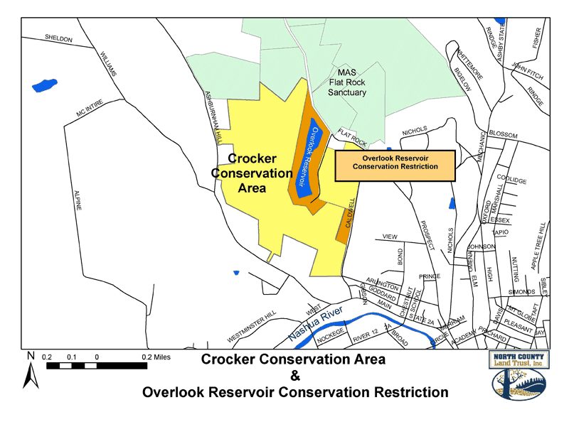
FitchburgOverlook Reservoir and the former Marshall Reservoir are owned by the City of Fitchburg and managed by the City Water Department. These reservoirs are surrounded by NCLT’s 150-acres Crocker Conservation Area. NLCT holds a conservation restriction on this 30-acre reservoir complex and works with the City to manage public access on trails, which link to trails on Crocker Conservation Area.

Gateway Park
FitchburgGateway Park is a City park located on the Nashua River and bounded by Sheldon Street and West Street. This 5.3 acre park is augmented by 6.7 acres of land on a knoll across West Street from the riverfront parcel. NCLT holds conservation restrictions on both parts of the park, jointly with The Trustees of Reservations. Gateway Park is managed by the Fitchburg Parks Commission.

Malone Road
HubbardstonMalone Road, a 67.5-acre property, is owned by the town of Hubbardston. The land is maintained by the town of Hubbardston’s Open Space Committee. The conservation area comprises a diverse landscape including woodlands, scenic overlooks, and meadows. The land abuts both the Mount Jefferson Conservation Area and Ware River Watershed land. The conservation area is open for horseback riding, picnicking, hiking, snowshoeing, and skiing. Biking is allowed on specified trails. The property also has an accessible all-persons trail to Dottie Rock featuring a scenic vista.
Hollis Road
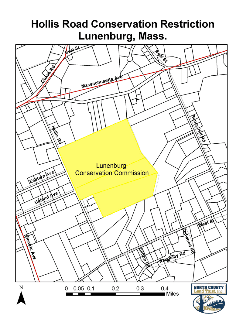
LunenburgThis 61-acre property on Hollis Road in Lunenburg is owned by the Town of Lunenburg Conservation Commission. The property includes a small house that is covered by the conservation restriction. This house is leased to a caretaker who operates a small farm on the property. Public access is allowed on wooded trails on the property for hiking, nature study and passive recreation.
Gaw Property
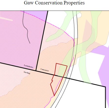
Sterling and LancasterThe Gaw Property is owned by the Sterling Land Trust and is open to the public. NCLT holds a conservation restriction on the property. The conservation area is comprised of approximately 8 acres of wooded marsh with hemlocks, red maples and yellow birch. It is bisected by the Wekepeke Brook, one of the best cold-water streams in Eastern Massachusetts and part of the Nashua River Watershed. It is surrounded by land that is considered Priority Habitat by the Natural Heritage and Endangered Species Program and is close to permanently protected land of Leominster Water Department and Lancaster Town Forest. The entire parcel is in a well head protection zone.